
Among the maps in the Island Imagined collection at the University of Prince Edward Island, my favourite are the Charlottetown Fire Insurance maps from the turn of the last century.
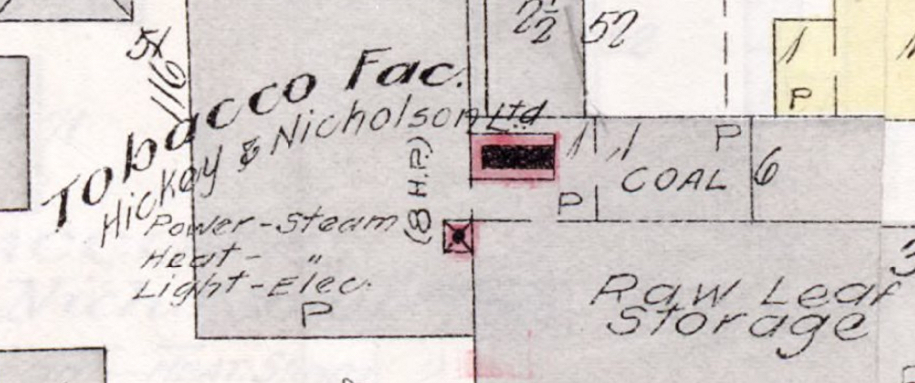
One of the great things about the digital versions of these maps is that it’s possible to experience them in great detail; here’s part of our block, for example, showing the Hickey & Nicholson tobacco factory:
While the digital has its distinct advantages, sometimes having an analog map in your hand has its own particular benefits. And so on the weekend Oliver and I, with an hour to kill out by Staples, decided to make some printing Charlottetown Fire Insurance maps of our own. Here’s how we did it.
You’ll need a USB flash drive to copy map images onto.
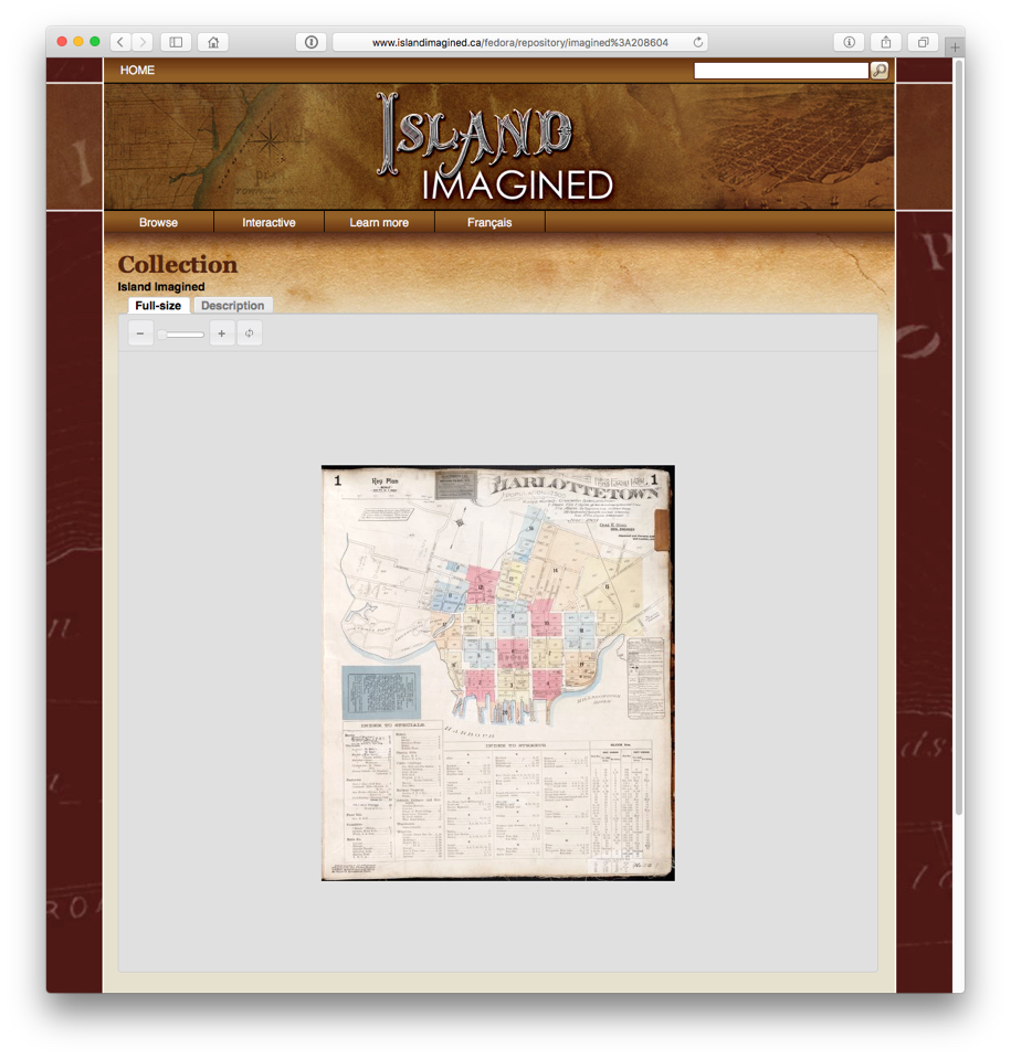
First, we commandeered one of the display computers at Staples. We selected a MacBook, but there are many computers on display, and any of them will do. We went to the IslandImagined.ca site, and located the map we wanted to print first, the index map:
There is, unfortunately, no mechanism in the IslandImagined.ca viewer to request a high resolution suitable-for-printing version of the map, but it’s possible to obtain one through a little bit of manipulation:
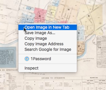
Don’t zoom in: work from the map as it loads initially. With your mouse pointer over the map image, right click and select “Open Image in New Tab”:
In the new tab that opens up you’ll see a URL in the address bar that looks like this:
http://137.149.200.109:8080/fedora/get/imagined:208604/ ilives:jp2Sdef/getRegion? uid= &level=3 ®ion=0,0,505,429
You need to edit that URL to produce a higher-resolution version of the entire map by:
- Change level=3 to level=10.
- Remove the ®ion=0,0,505,429 entirely.
The resulting URL is:
http://137.149.200.109:8080/fedora/get/imagined:208604/
ilives:jp2Sdef/getRegion?
uid=
&level=10
Load up this URL and you’ll receive a very high resolution image. Copy this to image onto the USB stick, eject it, and take it over to one of Staples colour photocopiers in the print centre (be sure to look at the copier labels: only a couple of them are colour).
Insert the USB stick in the standalone terminal that’s beside the copier and follow the instructions to print a file from a USB stick; select the file you just copied, and, for best results, print on 11x17 inch paper.
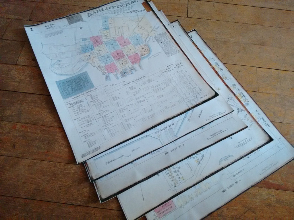
Staples charges about $1.00 per copy, and the results are very impressive. We repeated the process 4 more times to get good coverage of our block and down to the Charlottetown waterfront.
You’re not limited to Charlottetown Fire Insurance maps, of course: there are over 1,000 maps in the Island Imagined collection to choose from, from very early maps to more recent ones, like Atlas of Province of Prince Edward Island, Canada and the World from 1927.
And of course you should note any rights restrictions in the map metadata (click the “Description” tab for any map) — many maps are labelled “This material is provided for research, education, and private use only. For all other uses, please contact the Prince Edward Island Museum and Heritage Foundation,” which shouldn’t prevent you from printing them for your own use, but likely means you shouldn’t print them on T-shirts and sell them.

Comments